|
| *****SWAAG_ID***** | 454 |
| Date Entered | 06/02/2012 |
| Updated on | 06/02/2012 |
| Recorded by | Tim Laurie |
| Category | Settlement |
| Record Type | Archaeology |
| Site Access | Private |
| Record Date | 03/02/2012 |
| Location | Melbecks CP. Winterings. |
| Civil Parish | Melbecks |
| Brit. National Grid | Hidden |
| Altitude | 408m |
| Geology | Slumped shales, over Middle Limestone. |
| Record Name | Early rectangular buildings at Winterings. |
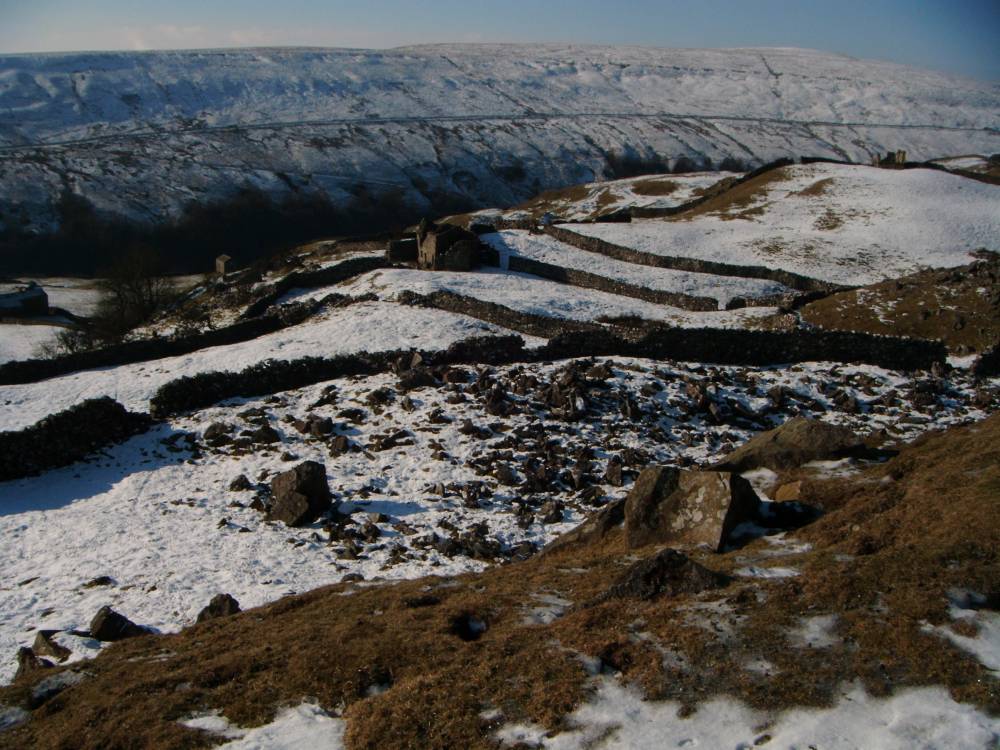
| Record Description | Photographs taken under powdered snow reveal the slight foundations of several rectangular cottage type buildings and associated field system which clearly predate the visible drystone walled fields in the pastures some 100m NW of the extant ruined 17thC cottage.
This observation has not been confirmed on the ground at the site.
See photographs below. |
| Dimensions | Not surveyed |
| Additional Notes | To follow. |
| Image 1 ID | 2244 Click image to enlarge |
| Image 1 Description | Winterings ruined cottages photographed from high ground to north | 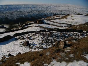 |
| Image 2 ID | 2245 Click image to enlarge |
| Image 2 Description | Winterings ruined cottages photographed from high ground to north | 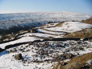 |